
 Contacto
 Como comprar
Entrega
Guia de compras
Pattern-Based Compression of Multi-Band Image Data for Landscape Analysis
 Inglês
 265 b
265 b
Até 30 dias para devoluções
Os clientes também compraram


 /
/
 Livro de capa dura
 68.52
€
68.52
€



 /
Capa mole
10.59
€
/
Capa mole
10.59
€


 /
Capa mole
110.51
€
/
Capa mole
110.51
€

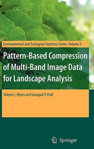
This book describes an integrated approach to using remotely sensed data in conjunction with geographic information systems for landscape analysis. Remotely sensed data are compressed into an analytical image-map that is compatible with the most popular geographic information systems as well as freeware viewers. The approach is most effective for landscapes that exhibit a pronounced mosaic pattern of land cover. The image maps are much more compact than the original remotely sensed data, which enhances utility on the internet. As value-added products, distribution of image-maps is not affected by copyrights on original multi-band image data.


Sobre o livro
Inglês
Categorias

Ofereça este livro hoje
É fácil
1 Adicione ao carrinho e escolha Entregar como presente ao finalizar a compra 2 Receberá um vale 3 O livro chegará ao endereço do destinatárioTambém pode estar interessado em














 /
Livro de capa dura
42.58
€
/
Livro de capa dura
42.58
€




Olá! Sou o Libroamiko, o seu conselheiro de livros.
Como posso ajudar?