
 Contacto
 Como comprar
Entrega
Guia de compras
 Inglês
 91 b
91 b
Até 30 dias para devoluções
Os clientes também compraram

 /
/
 Capa mole
 28.25
€
28.25
€


 /
Capa mole
21.18
€
/
Capa mole
21.18
€




 /
Capa mole
38.04
€
/
Capa mole
38.04
€

 /
Capa mole
8.97
€
/
Capa mole
8.97
€



 /
Capa mole
47.73
€
/
Capa mole
47.73
€
 /
Capa mole
43.69
€
/
Capa mole
43.69
€


 /
Capa mole
36.32
€
/
Capa mole
36.32
€




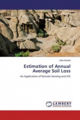
Remote Sensing (RS) and Geographic Information Systems (GIS) are useful tools in hydrological analysis and natural resource management. The application of RS and GIS techniques leads to estimate soil loss based on different parameters. RUSLE (Revised Universal Soil Loss Equation) model is used for soil loss estimation. Different parameters, namely the rainfall and runoff factor (R), soil erodibility factor (K), slope length and steepness factor (LS), crop management factor (C) and conservation practice factor (P), that are the mandatory inputs to RUSLE, have been either derived from remote sensing data or through conventional data collection systems.


Sobre o livro
Inglês

Ofereça este livro hoje
É fácil
1 Adicione ao carrinho e escolha Entregar como presente ao finalizar a compra 2 Receberá um vale 3 O livro chegará ao endereço do destinatárioTambém pode estar interessado em



 /
Livro de capa dura
40.97
€
/
Livro de capa dura
40.97
€




 /
Livro de capa dura
32.59
€
/
Livro de capa dura
32.59
€
 /
Capa mole
108.29
€
/
Capa mole
108.29
€














Olá! Sou o Libroamiko, o seu conselheiro de livros.
Como posso ajudar?