
 Contacto
 Como comprar

Entrega
Guia de compras
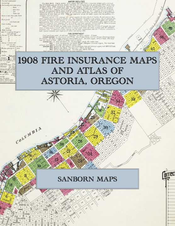
1908 Fire Insurance Maps and Atlas of Astoria, Oregon
The Complete Sanborn Fire Insurance Atlas of Astoria, Oregon, the Salmon Cannery Port on the Columbia River in Clatsop County, with Warrenton
 Inglês
 119 b
 Novo
Até 30 dias para devoluções

Facsimile of the 1908 Sanborn fire-insurance atlas of Astoria, Oregon, reproduced in full color from the Library of Congress copy. It covers the whole city of 12,500 people strung along the Columbia River shore, from the salmon canneries, wharves and stores of Commercial, Bond and Duane Streets downtown, east past the mills and canneries to the Tongue Point Lumber Company and west to Youngs Bay, together with the town of Warrenton on Skipanon Creek.
The fifty-two numbered sheets work block by block from the stores, banks, hotels and theatres along Commercial Street, Bond Street, Duane Street, Exchange Street, Astor Street and Water Street - the County Court House and Jail, the U. S. Government Building, the City Hall, the fire department stations, the Occident Hotel, Hotel Irving, the Central Hotel, the Astoria Hotel and the Parker House, the Star Theatre and the Astoria Theatre and the Seamen's Institute - through the Astoria & Columbia River Railroad dock, warehouse, depot and round house, the Oregon Railroad & Navigation Company's dock, the Callender Dock and the Astoria Wharf and Warehouse Company, the salmon canneries, fishing depots and receiving stations of the Columbia River Packers' Association at Elmore, Hanthorn and Kinney, the Elmore and Kinney salmon canneries, the A. Booth & Company, Sanborn-Cutting and Scandinavian canneries, the Union Fishermen's Co-operative Packing Company, the Tallant-Grant Packing Company, the Lindenberger and Schmidt fish-packing houses and the Warren Packing Company's fishing station, the American Can Company, the Astoria Iron Works, the Astoria Box Company, the Astoria Lumber Company, the Clatsop Mill Company, the Tongue Point Lumber Company, the Jacobs & Gimre planing mill, the Universal Sash and Door Company, the Astoria Clay Products Company, the North Pacific Brewing Company, the Astoria Electric Company, the Astoria Gas and Electric Company's gas works, the Standard Oil Company and the Troy Laundry, to St. Mary's Hospital, the Academy of the Holy Name, the McClure, Shively, Taylor and Alderbrook schools and the public school on 35th Street, St. Mary's Catholic Church, Grace Episcopal Church, the First Baptist, Congregational, Methodist Episcopal and Presbyterian churches, the Finnish, Norwegian and Swedish Lutheran churches, the City Park, and the residential streets climbing the hill above the river from Youngs Bay to Alderbrook, with the town of Warrenton on Skipanon Creek, its depot, the D. L. Kelly Lumber Company's saw and planing mill and the Old Oregon Mills.
In 1908 the Sanborn Map Company of New York surveyed Astoria for the fire-insurance trade, drawing the city at fifty feet to the inch. Every building is shown to scale and color-coded for construction (yellow for frame, pink for brick, blue for stone), with heights, uses, windows, party walls, hydrants, water mains and fire stations all marked. The index lists every street and every named business, church, school, hotel, mill and works with the sheet it appears on, and the key map places the colored sheet grid over the whole city.
This Exile Books edition is an unabridged facsimile republication of the atlas: the combined title and index sheet with its block index, the key map and all fifty-two numbered map sheets, printed at 8.5 x 11 inches on premium color paper. Ideal for local historians, genealogists, architects, preservationists and anyone tracing a Astoria address back to 1908.


Sobre o livro
Inglês

Ofereça este livro hoje
É fácil
1 Adicione ao carrinho e escolha Entregar como presente ao finalizar a compra 2 Receberá um vale 3 O livro chegará ao endereço do destinatárioOlá! Sou o Libroamiko, o seu conselheiro de livros.
Como posso ajudar?